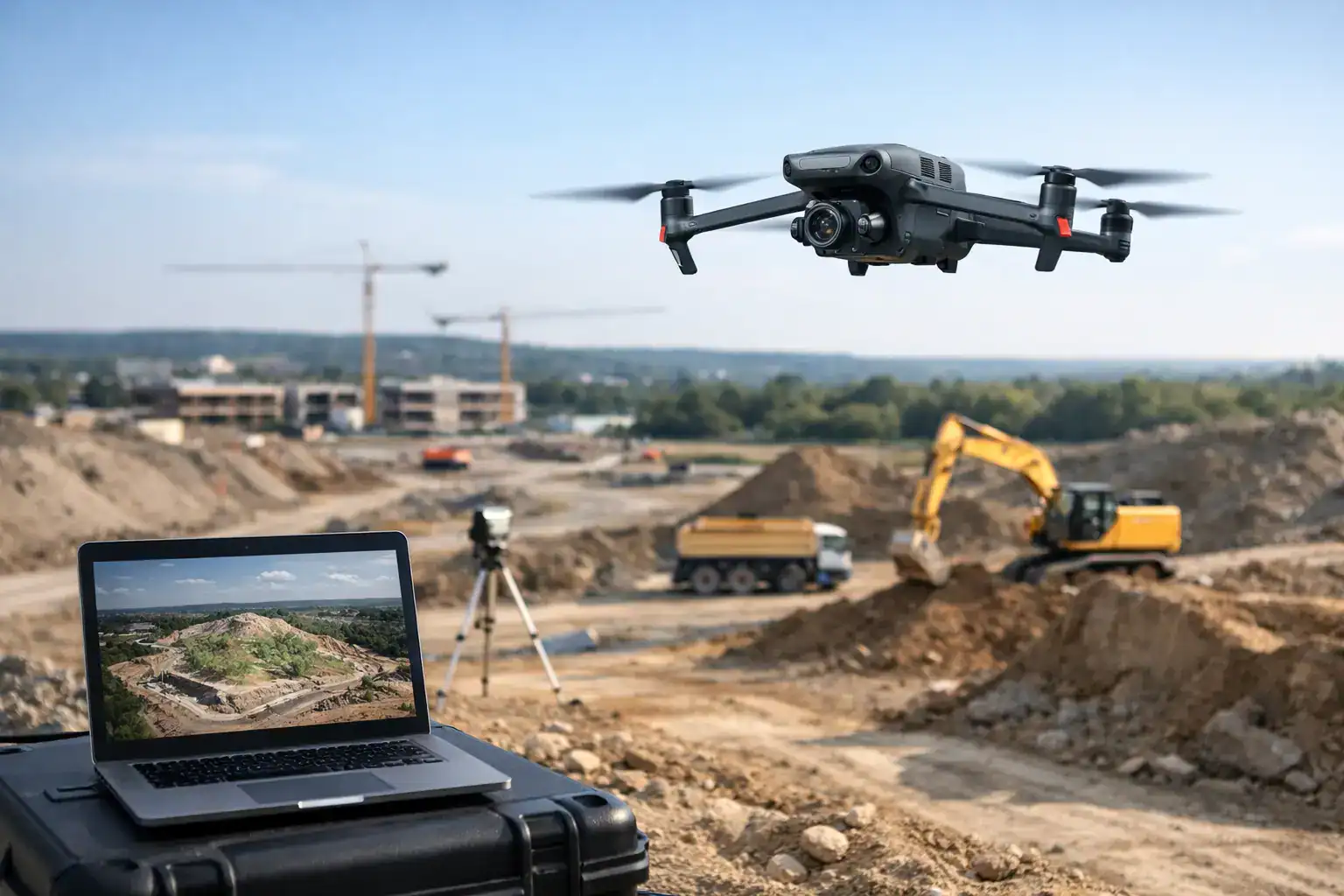
When a project team is working from outdated site photos, rough grade notes, or partial field reports, small gaps turn into expensive decisions. 3d drone mapping services give commercial and industrial teams a faster way to document conditions, measure change, and work from a current visual record instead of assumptions.
For construction managers, property stakeholders, insurers, and infrastructure operators, the value is not the drone itself. The value is accurate site intelligence delivered without sending more people into active work zones, climbing structures, or slowing down operations. That is where drone mapping earns its place.
What 3D drone mapping services actually provide
At a basic level, 3d drone mapping services use planned aerial data capture to create measurable outputs from a site or structure. That can include orthomosaic maps, 3D models, topographic surfaces, stockpile measurements, progress documentation, and elevation data. The right deliverable depends on the job.
An orthomosaic gives you a high-resolution, corrected overhead image that can be used for planning, documentation, and communication. A 3D model adds depth and context, which matters when you need to evaluate structural features, building envelopes, terrain variation, or site logistics. On some projects, the most useful result is not a model at all. It may be recurring data capture that shows what changed from one week to the next.
That distinction matters because too many buyers are sold on flashy visuals when what they really need is decision support. A good provider starts with the operational question first, then builds the flight plan and deliverables around that need.
Why commercial teams use 3D drone mapping services
The strongest case for drone mapping is usually a mix of speed, safety, and clarity. Traditional documentation methods often require more labor, more time on site, and more exposure to risk. On a large construction site, even basic visual documentation can pull staff away from core work. On roofs, towers, industrial yards, and damaged properties, the risk profile rises quickly.
Drone-based mapping reduces the need for manual access while producing consistent visual records. That helps teams verify conditions, coordinate subcontractors, support estimates, and catch issues earlier. When the data is captured on a repeatable schedule, it also creates accountability. You can compare progress, confirm quantities, and document conditions before and after a critical event.
For insurance and catastrophe response work, timing is often the difference between a manageable claim and a delayed one. Aerial mapping can help document widespread property conditions faster than ground-only methods, especially when access is limited or conditions are still unstable. That does not replace every field inspection, but it can prioritize the next step and improve how resources are deployed.
Where drone mapping delivers the most value
Construction is one of the clearest use cases. Project owners and site managers need current visuals, measurable progress records, and a better way to monitor large or changing sites. Drone mapping helps with pre-construction documentation, earthwork tracking, progress verification, and stakeholder reporting. It can also reduce disputes by creating a dated visual record of conditions over time.
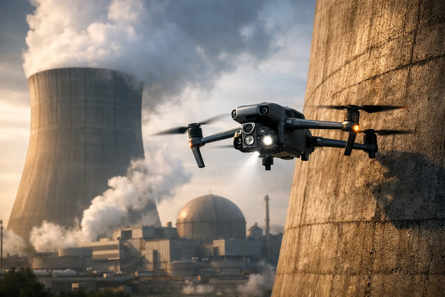
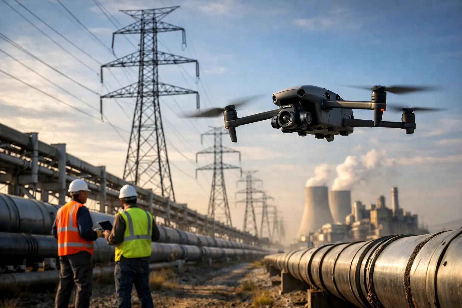
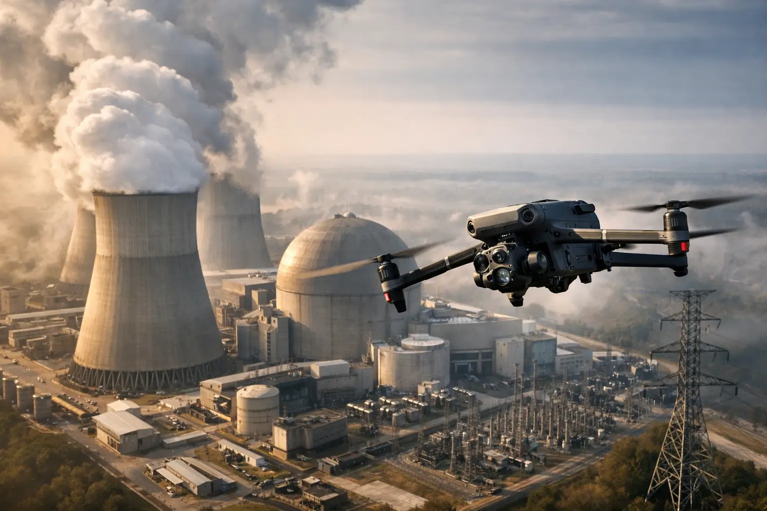
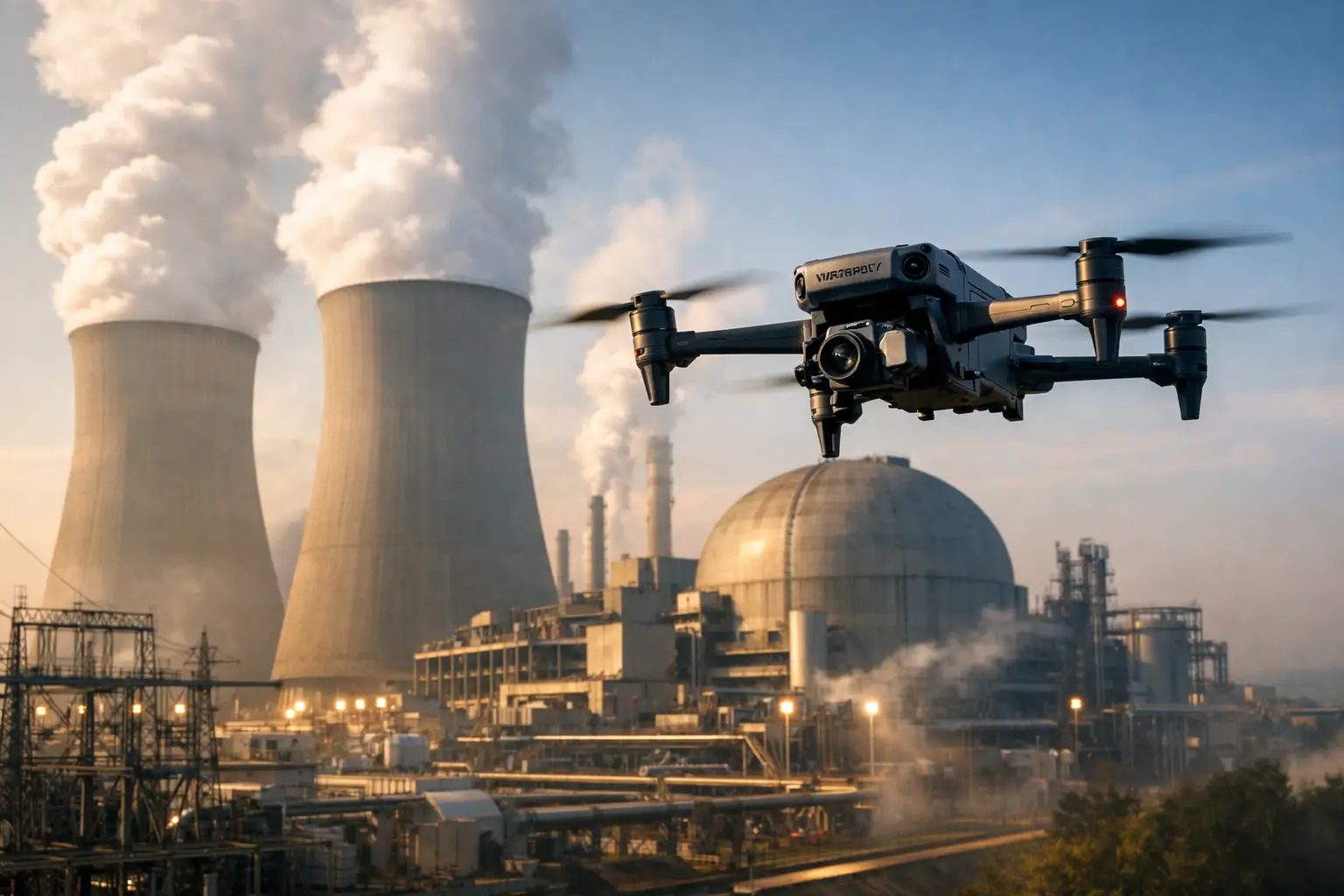
In infrastructure, the value often comes from access and scale. Utility corridors, telecom assets, rooftops, industrial facilities, and remote structures can be difficult or hazardous to inspect manually. A drone map or model can give operators a clearer understanding of asset condition and surrounding context before sending crews in. That leads to better planning and fewer wasted site visits.
For property and insurance teams, mapping supports claims documentation, underwriting reviews, catastrophe response, and portfolio-level visibility. If you are assessing storm damage across multiple sites, consistency matters. A repeatable aerial workflow can provide standardized imagery and measurable documentation that is easier to review than scattered ground photos from different angles.
Accuracy matters, but so does fit for purpose
One of the most common questions around 3d drone mapping services is accuracy. The honest answer is that it depends on the project, the flight conditions, the control methods used, and what decisions will be made from the data.
If you need general progress documentation or visual context, standard mapping workflows may be more than enough. If you are using outputs for design coordination, quantity verification, or site measurements that affect cost and schedule, the accuracy requirements are higher. In those cases, planning, control points, processing standards, and operator discipline matter a great deal.
This is where commercial buyers should be careful. Not every drone provider is built for operational work. Capturing usable site data is different from taking attractive aerial photos. The provider should understand airspace rules, site hazards, weather impacts, data quality, and how to collect information in a way that stands up under real business use.
What a strong mapping workflow looks like
A dependable mapping job starts well before the aircraft leaves the ground. The scope needs to define the site, the intended outputs, the level of detail required, site access limitations, and any time-sensitive priorities. For active construction and industrial environments, coordination with site contacts is essential. Flights need to happen without disrupting operations or creating new safety issues.
The capture itself should be systematic and repeatable. That means flight paths designed for overlap, coverage, and consistent image quality rather than ad hoc passes over areas that look interesting. After collection, processing turns raw imagery into usable outputs, but quality control is where the real value is protected. If the dataset has gaps, distortions, or inconsistent coverage, it can create false confidence instead of clarity.
That is why experienced operators matter. FAA Part 107 certification is the starting point, not the whole story. Commercial clients should also look for insured providers with field discipline, familiarity with industrial environments, and the ability to deploy quickly when timing is tight.
What to expect from a provider
A professional mapping provider should be able to explain what you will receive, how the data will be captured, and what limitations may apply. They should also be direct about conditions that can affect results, including weather, restricted airspace, tree cover, reflective surfaces, and access constraints.
Just as important, they should speak in operational terms. If your team is trying to reduce rework, improve reporting, validate quantities, or document storm damage, the conversation should stay centered on those outcomes. Technical capability matters, but it only matters if it supports a business decision.
For clients in construction, insurance, and infrastructure, readiness is a major differentiator. Some projects need scheduled recurring flights. Others need fast deployment after a loss event or during a schedule-critical phase. A field-tested provider with the right certifications, insurance coverage, and response discipline is better positioned to support those demands. That is part of why companies such as Air Reel Technologies are built around commercial field operations rather than general drone media work.
Is drone mapping always the right choice?
Not always. If a site is heavily obstructed, indoors, beneath dense canopy, or requires survey-grade deliverables beyond the scope of a standard aerial workflow, another method may be more appropriate or the drone work may need to be paired with ground-based collection. The right answer is not always more drone coverage. Sometimes it is a narrower mission with better-defined outputs.
There is also a timing question. Mapping too early, before meaningful change has occurred, may not justify the cost. Mapping too late can leave teams reacting instead of managing proactively. The best programs match capture frequency to project risk, pace, and reporting needs.
That practical view is what separates useful drone mapping from novelty. The goal is not to fly because you can. The goal is to collect the right data at the right time so your team can act with more confidence.
Choosing 3D drone mapping services with business value in mind
If you are evaluating 3d drone mapping services, focus less on the aircraft and more on the provider’s ability to operate in demanding environments and produce reliable outputs. Ask how they handle safety planning, airspace compliance, active job sites, turnaround time, and repeatable capture schedules. Ask what deliverables are most useful for your workflow, not just what looks impressive in a proposal.
The best mapping service is the one that helps your team make faster, safer, and better-informed decisions. On a jobsite, after a storm, or across a portfolio of assets, current aerial data can reduce uncertainty in a way that spreadsheets and scattered photos usually cannot. When the stakes involve schedule, cost, liability, or access risk, that kind of visibility is not a nice extra. It is a practical advantage.
Good field data changes how decisions get made. When your team can see the site clearly, measure conditions with confidence, and document change without putting more people in harm’s way, the work tends to move faster and with fewer surprises.