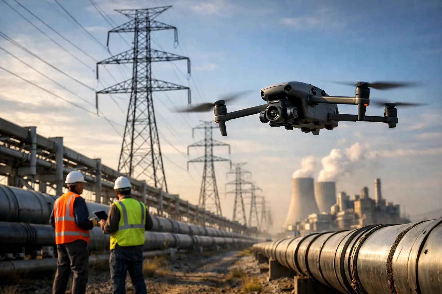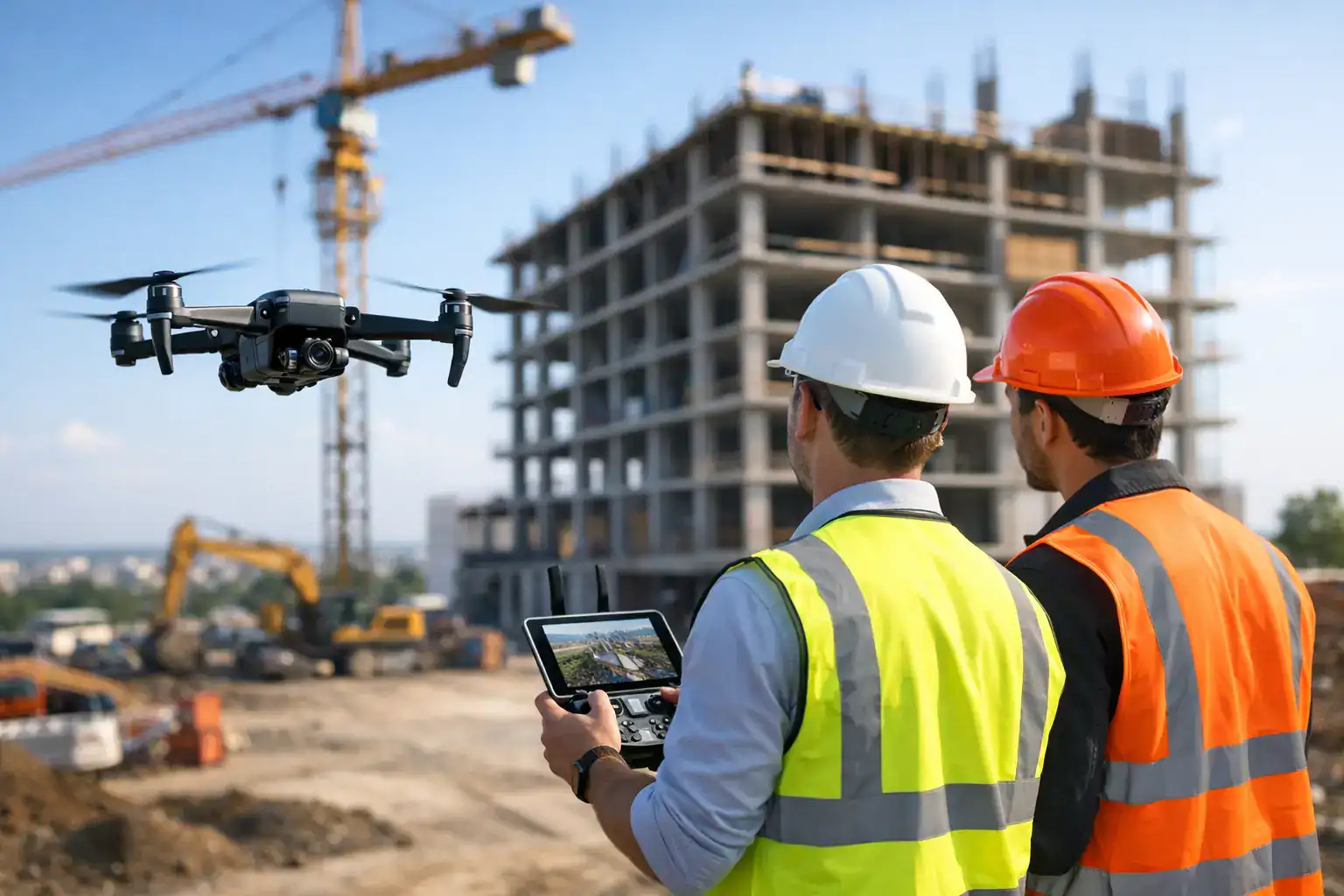
A superintendent standing at the edge of a 40-acre jobsite can only see so much. By the time updates move from the field to the trailer, then into reports, key details are already aging. Drone construction progress monitoring closes that gap by giving project teams current aerial documentation they can use to track work in place, verify milestones, and spot issues before they affect schedule or cost.
For commercial construction, progress monitoring is not about getting dramatic aerial footage. It is about dependable site intelligence. Owners want proof that work is advancing according to plan. Project managers need a clear view of sequencing, material staging, access routes, and subcontractor coordination. Safety teams need visibility into changing site conditions without putting more people in harm’s way. When drone operations are handled by a qualified provider, the result is faster reporting, better records, and fewer blind spots across the life of the project.
Why drone construction progress monitoring matters on active jobsites
Construction schedules compress easily and recover slowly. One delay in grading, steel, concrete, or utility work can create ripple effects across multiple trades. Traditional site walks still matter, but they are limited by time, line of sight, and the simple fact that large projects change quickly. Aerial progress captures the whole site in a way ground-level photos never can.
That wide-area view becomes especially valuable when teams need to compare actual site conditions against planned progress. Weekly or biweekly drone flights create a visual timeline that helps confirm what has been completed, what is lagging, and where site logistics are creating friction. Instead of relying only on fragmented updates from different crews, stakeholders can review consistent documentation from the same vantage points over time.
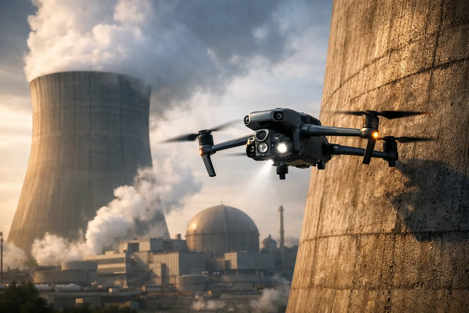
There is also a safety advantage. Some areas are difficult or risky to access on foot, especially during earthwork, structural erection, roofing, or after severe weather. A drone can document those conditions without requiring additional manual exposure. That does not replace field inspections, but it reduces the number of unnecessary site visits to hard-to-reach areas.
What useful progress monitoring actually looks like
The best drone construction progress monitoring programs are built around repeatability. A single flight can be helpful, but recurring flights create decision-grade records. That usually means following the same flight paths, altitudes, camera angles, and deliverables on a set cadence so teams can make direct comparisons from one reporting period to the next.
In practice, that can include overhead imagery for broad site awareness, oblique images for building envelope and vertical progress, orthomosaic maps for accurate site reference, and 3D models for stockpile tracking, terrain review, or structural context. The exact mix depends on the stage of construction and what the project team needs to manage.
Early in a project, aerial data often supports earthwork tracking, drainage review, access planning, and material laydown organization. As the build advances, the focus may shift toward structural progress, facade installation, roofing status, MEP staging, and overall trade coordination. Near closeout, drone documentation can help create a clear visual record of final conditions.
That is where many teams get the most value. Good aerial reporting does not just show that work happened. It gives stakeholders a reliable record of when and where it happened.
Where drones help project teams make faster decisions
Owners and general contractors usually care about the same core question: are we on track? Drone data helps answer that question with less guesswork. If concrete areas are smaller than expected, if site access is blocked by material placement, or if exterior work is falling behind on one elevation, that becomes easier to see and communicate.
Lenders and remote stakeholders benefit too. Not every decision-maker can visit the site every week, especially on regional portfolios or large multi-phase developments. Aerial updates make it easier to review progress without waiting for scattered phone photos or secondhand descriptions.
For claims, disputes, and compliance-related documentation, consistent aerial records can also be valuable. Weather events, site damage, contractor disagreements, and milestone verification all benefit from dated visual evidence. In those situations, the quality and consistency of documentation matter more than flashy presentation.
The trade-offs: speed is not the same as strategy
Drones can improve visibility fast, but they are not a substitute for planning or field leadership. If flight schedules are inconsistent, image quality is poor, or deliverables are not aligned with project needs, teams end up with nice-looking media that does not support operations. That is one of the biggest mistakes in this space. The tool is strong, but only when the workflow is disciplined.
Weather is another factor. Wind, rain, changing light, and temporary airspace restrictions can affect operations. On busy commercial sites, active cranes, personnel movement, and shifting equipment routes also require careful coordination. That is why construction drone work should be approached as a professional field operation, not an add-on.
There is also the question of frequency. More flights are not always better. A fast-moving civil job may justify weekly captures, while a vertical build in a slower phase may only need updates every two weeks or monthly. The right schedule depends on project velocity, reporting demands, and how often teams actually review the data.
What to expect from a professional drone provider
If you are hiring for drone construction progress monitoring, certification and readiness should not be treated as fine print. Commercial clients need an operator who understands FAA compliance, site safety expectations, insurance requirements, and the realities of working around active crews and changing site conditions.
Just as important, the provider should understand what construction teams need from the data. That means clean image organization, consistent capture methods, dependable scheduling, and deliverables that support project management instead of creating more admin work. The goal is not simply to fly a drone. The goal is to deliver usable field intelligence on a schedule the project can rely on.
That is where experience matters. A field-ready team will know how to coordinate around site activity, identify the best capture windows, and adjust to complex environments without disrupting operations. For commercial and industrial jobs, that discipline makes the difference between occasional aerial content and a monitoring program that supports real decisions.
Building a better reporting rhythm with drone construction progress monitoring
The strongest results usually come when aerial documentation is tied to a reporting rhythm the entire project team already follows. If OAC meetings happen every Tuesday, drone capture before that meeting can give everyone current visuals to review. If monthly owner updates are a key deliverable, recurring aerial maps and imagery can become part of that standard reporting package.
This approach improves communication across the board. Superintendents get a site-wide reference point. Project managers can annotate issues more clearly. Owners have a better handle on status without adding more site visits. Insurance stakeholders and external partners can review conditions with more confidence.
It also creates continuity when personnel change. Construction projects are long, and turnover happens. A consistent visual record helps new team members understand what the site looked like at earlier phases and how conditions evolved over time.
For companies operating across multiple sites, standard drone reporting can bring much-needed consistency to portfolio oversight. That is especially useful when leadership is comparing progress, risk, and resource allocation across jobs in different locations.
Choosing the right scope for your project
Not every project needs the same level of aerial support. A smaller commercial build may only need monthly progress imagery and occasional orthophotos. A large industrial project may need recurring mapping, executive-ready reporting visuals, and condition documentation after major weather events. The right program matches the complexity of the job.
A dependable provider will help define that scope up front. That includes flight frequency, capture types, file formats, reporting expectations, and operational constraints. Clear planning prevents wasted flights and helps make sure the data collected is data your team will actually use.
For construction leaders under pressure to protect schedule, control costs, and keep people safe, better visibility is not a luxury. It is part of running a disciplined jobsite. Air Reel Technologies approaches drone operations with that same mindset – professional execution, reliable documentation, and field data built for real-world decisions.
The value of aerial monitoring is simple: when you can see the job clearly and consistently, you can manage it with more confidence.